Building reliable and scalable geospatial infrastructure in the cloud
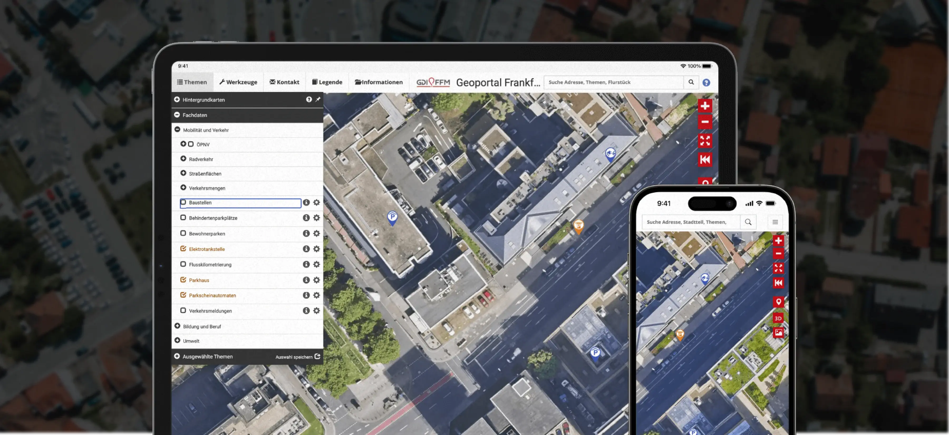
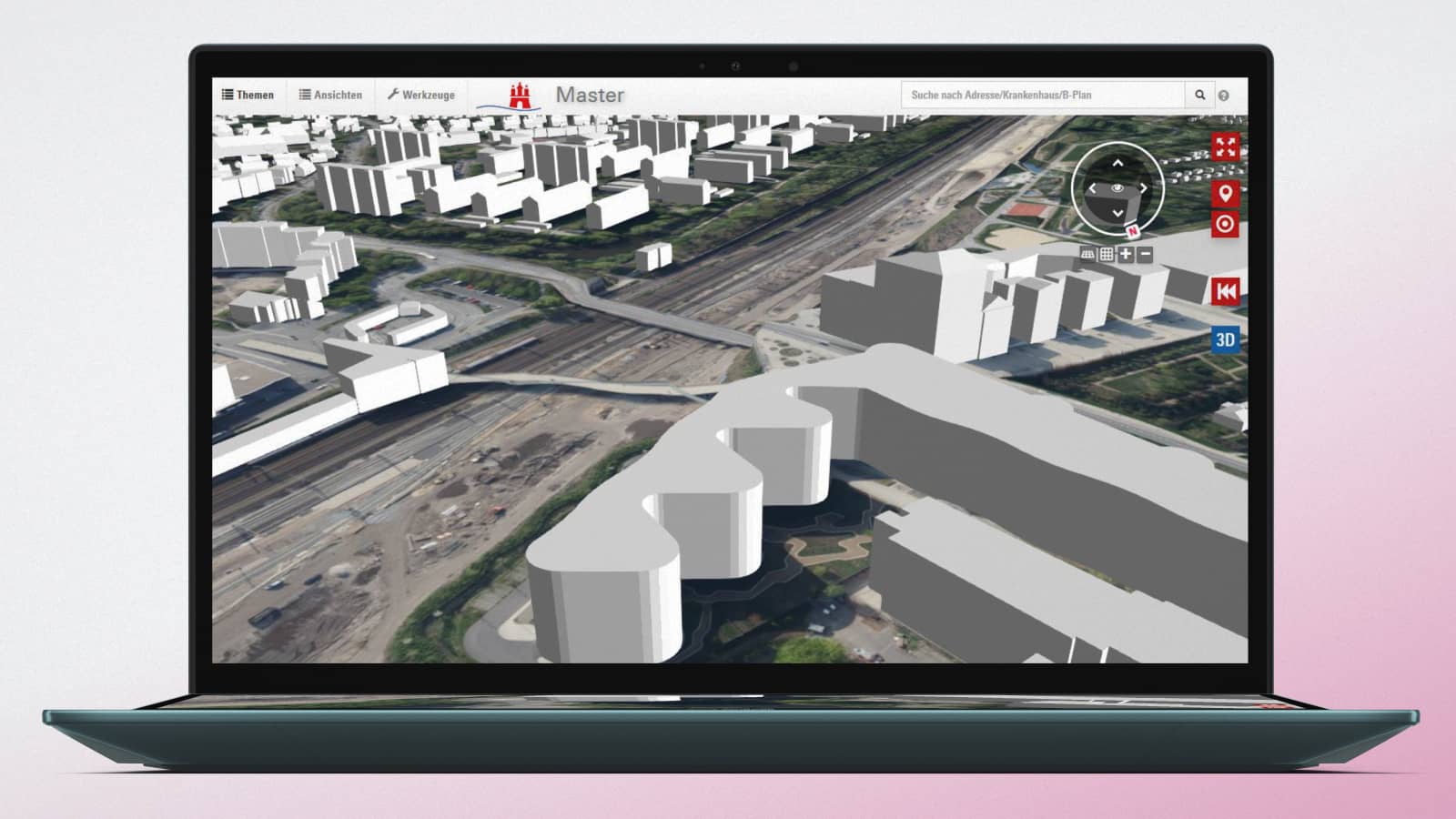
A leading geospatial software platform required a robust infrastructure to manage large volumes of spatial data, provide 24/7 availability, and coordinate operations across multiple development and operations teams. The platform relied on microservices deployed in Kubernetes clusters but lacked centralized management and automation for scaling and maintaining the system efficiently.
Coordinating Complex GIS Infrastructure
The main objectives included:
- Accelerating the creation of new environments for applications and services
- Improving resource utilization across cloud infrastructure
- Streamlining collaboration between development teams and operational environments
- Automating deployment and maintenance processes
- Enhancing overall efficiency and quality of system operations
The challenge was to ensure high availability, stability, and scalability while enabling teams to manage resources efficiently and reduce manual work in a complex multi-service, multi-cluster environment.


Multi-Cloud, GitOps, and DevOps Automation
A dedicated team implemented a comprehensive solution that included:
Infrastructure & Cloud Management
- Multi-cloud deployment in Azure using AKS, Application Gateway, and WAF
- Terraform-based Infrastructure as Code (IaC) for unified workflows and dependency management
- Centralized Kubernetes cluster management with ArgoCD
- Role-based access control (RBAC) for multi-cluster operations
DevOps & Automation
- GitOps principles to synchronize application state with repository configuration
- Automatic deployment of applications and detection/remediation of configuration drift
- CI/CD pipelines with GitLab for seamless delivery and updates
- Microservices orchestration with Kubernetes, Helm, and Docker
Operational Efficiency
- Scalable, modular infrastructure design to support iterative improvements
- Automated monitoring, alerting, and resource management
- Improved collaboration between development, testing, and operations teams
Reliable, Scalable, and Future-Ready Infrastructure
The project delivered significant improvements across infrastructure and operations. Deployment reliability and fault tolerance increased by +90%, ensuring more stable and resilient GIS systems. Environment provisioning and CI/CD pipeline scaling became +70% faster, accelerating development cycles and reducing setup time. Operational efficiency and collaboration between teams improved by +60%, streamlining workflows and enhancing coordination. Infrastructure orchestration, monitoring, and management were simplified, making it easier to maintain and scale the system. Overall, these enhancements boosted productivity and enabled faster delivery of GIS applications.
Cloud Infrastructure & DevOps for GIS
Why implement multi-cloud architecture for GIS platforms?
A multi-cloud approach provides significant business advantages by increasing fault tolerance, resilience, and scalability. By distributing workloads across multiple cloud providers, organizations minimize downtime and ensure high availability of geospatial services, which is critical for mission-critical applications and real-time data processing. This approach also enables more flexible resource allocation, cost optimization, and risk mitigation across cloud environments.
How does GitOps with ArgoCD improve cluster management?
GitOps with ArgoCD streamlines the management of Kubernetes clusters by enabling centralized control from a single instance. It automates application deployment and ensures that all clusters remain in sync with the desired declarative configurations. This reduces operational overhead, prevents configuration drift, and allows teams to quickly detect and remediate deployment issues, ensuring consistent performance across multiple environments.
Can the infrastructure handle scaling and multiple services?
Yes. The combination of Azure Kubernetes Service (AKS), modular microservices, and CI/CD pipelines allows seamless scaling to accommodate growing workloads and additional geospatial services. Organizations can quickly deploy new services, manage spikes in user demand, and maintain performance across multiple applications without compromising reliability.
How was operational efficiency improved?
Operational efficiency increased through automation of deployment, monitoring, and maintenance processes. Manual intervention was minimized, reducing the risk of errors and accelerating rollout of new environments. Teams could focus on higher-value tasks, such as developing features and analyzing data, rather than managing infrastructure, which ultimately improved productivity and service delivery.
Is the setup future-proof?
Yes. The infrastructure was designed with modular architecture, role-based access control (RBAC), and GitOps-enabled workflows, allowing ongoing optimization and easy integration of new services. This ensures long-term scalability, adaptability to evolving business needs, and the ability to support future geospatial initiatives without requiring major overhauls.